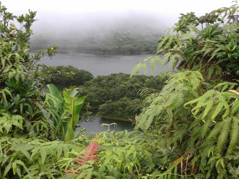
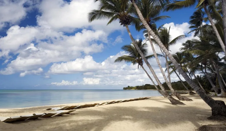
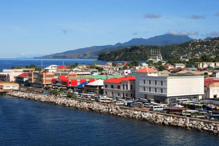
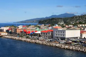
At the northern tip of Dominica, the Cabrits Headland juts westward into the Caribbean. To the north is Douglas Bay, and to the south, the charming town of Portsmouth. Canvassing the entire peninsula is Cabrits National Park, a 1,313-acre (531-hectare) area of pristine tropical jungles, wetlands, and coral reefs.
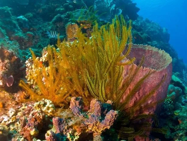
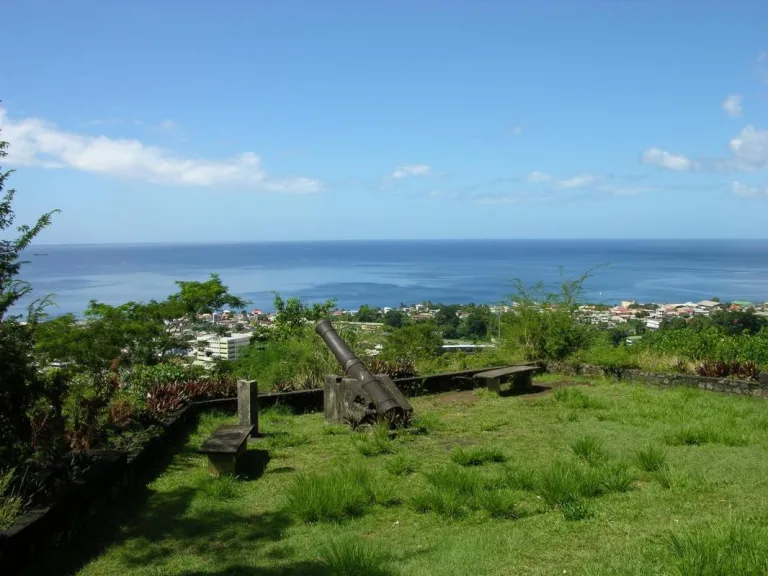
A pair of hills named West and East Cabrit dominates the landscape. From the back of Fort Shirley, you’ll find a trail that leads to the panoramic viewpoint at the top of West Cabrits. With an elevation of about 560 feet (170 meters), the hike takes about 30 minutes from beginning to end.xa0For scuba divers and snorkelers, the park’s underwater domain is also well worth a visit, as dive sites around the peninsula, featuring coral reefs and dramatic lava rock seascapes, are some of the richest on the island.
- Cabrits National Park is an ideal spot for trekkers, history buffs, and nature lovers.
- Lying between two low-rising extinct volcanic mountains, the park offers a splendid view of the sea below.
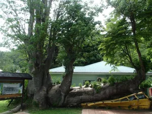
- At the park entrance, there is a small restaurant and a gift shop.
- Wear appropriate clothing and footwear for hiking.
Located at the north end of the island, Cabrits National Park lies just north of the town of Portsmouth and about a 45-minute drive from the capital of Roseau via the Edward Oliver Leblanc Highway. A small, secondary cruise ship dock is located on the south side of the Cabrits peninsula.
Cabrits National Park is open daily year-round. Make sure to start early since hiking up to the fort can take some time depending upon your fitness. Avoid visiting the park on a rainy day since the trail will be muddy and slippery.
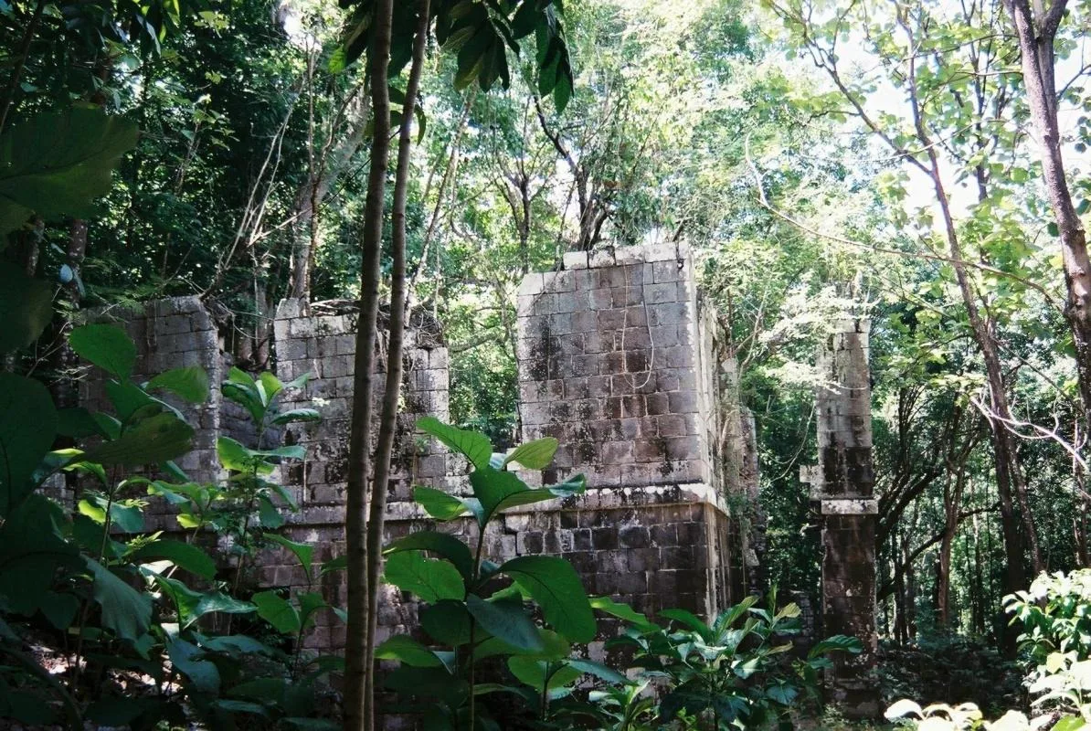
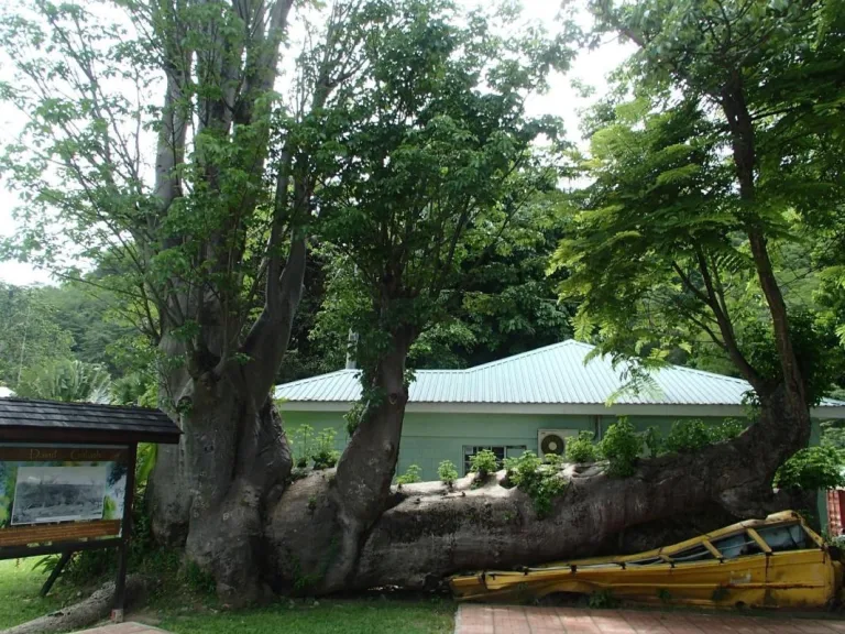
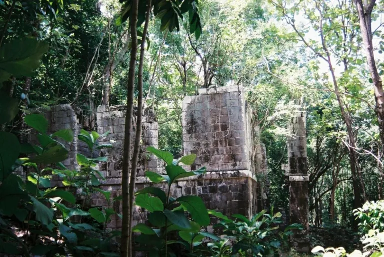
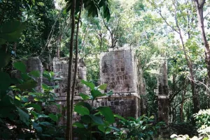
With commanding views of Rupert Bay, this 18th-century British military outpost and Georgian-style fort once hides some 500 soldiers. Restoration efforts have cleared many of the ruins from the encroaching jungle, and at the small on-site museum, you can learn about the restoration and see some of the artifacts uncovered along the way.

